Log in
All resources
Create a design
2,090 Free Images of South France
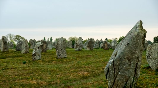
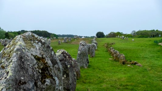
bretagne
2019
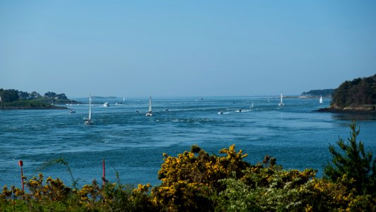
morbihan
gulf of morbihan
south brittany
bibliothèque nationale de france
languedoc-roussillon
europe
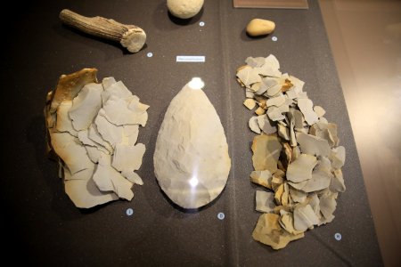
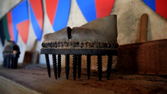
rock
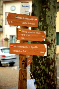
hérault
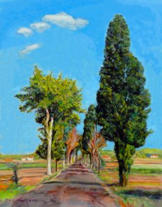
france
roads
france
fish
bibliothèque nationale de france
guillaume sanson
leonard schenk jansz.
maps from gallica
bibliothèque nationale de france
sanson maps of south america
bibliothèque nationale de france
guillaume sanson
professional
france
france
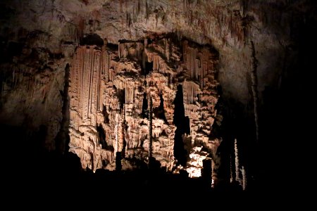
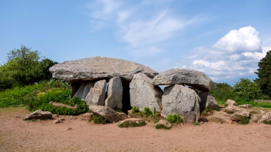
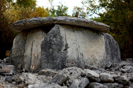
cave
signal
france
winter
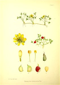
plants
carte des alpes by guillaume sanson (1690)
bibliothèque nationale de france
falkland islands
botany
france
europe
france
europe
plate
food
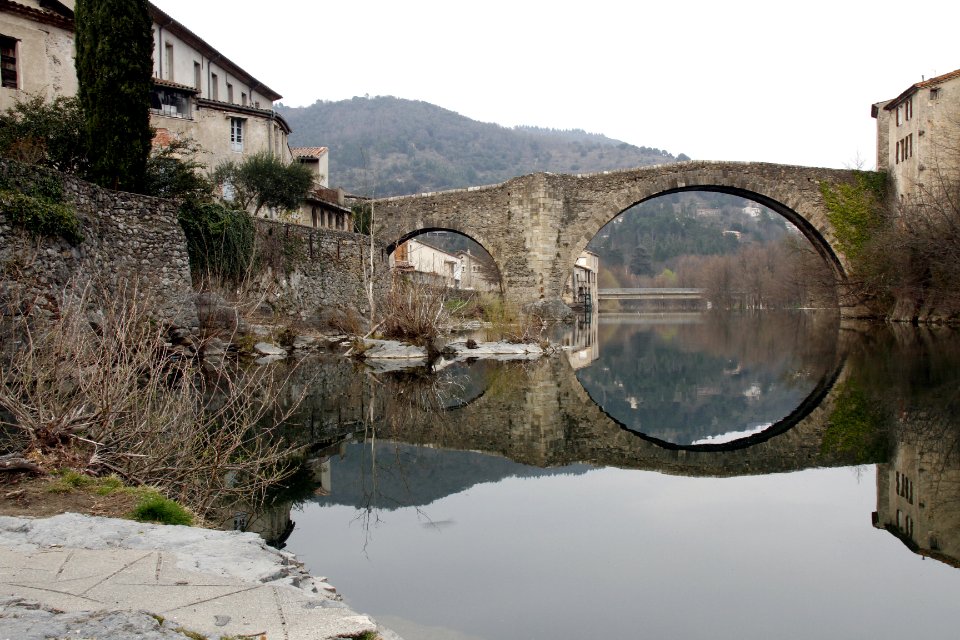
bridge
france
vue (en relief et à vol d'oiseau) de paris by jacques-alphonse testard
maps of paris from bibliothèque nationale de france
landscape
history
old maps of leiden
baroque
outdoors
france
beach
fish
maps of delft by braun & hogenberg
bibliothèque nationale de france
paintings by vilhelm lundstrøm in statens museum for kunst
cubism
19th-century maps of the isle of wight
william price
maps of barbary coast by mercator-hondius
bibliothèque nationale de france
eight views (1854) by mrs william crofton
tinted lithographs
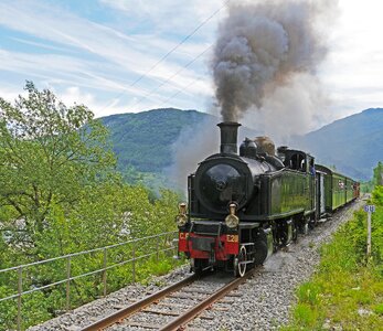
vehicle
smoke
historical
history
history
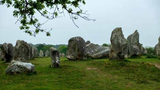
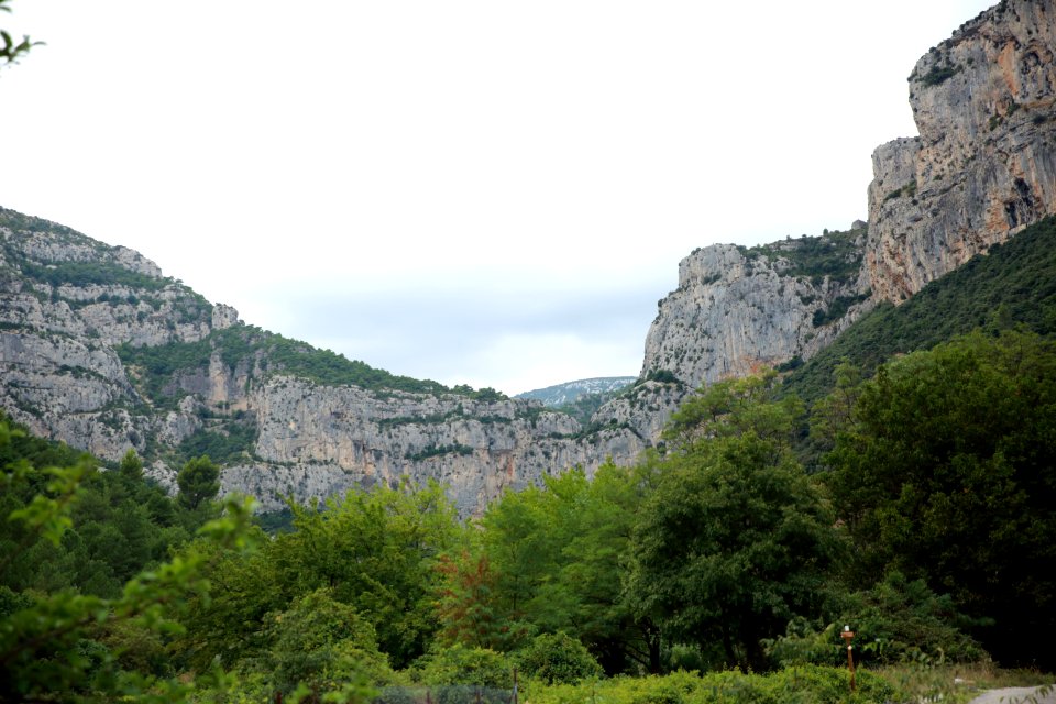
rock
france
rock
landscape
france
illustrations by thomas von nathusius
engravings of donkeys
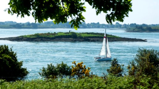
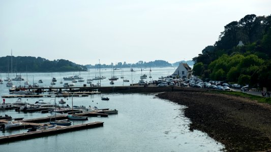
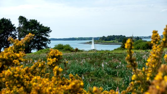
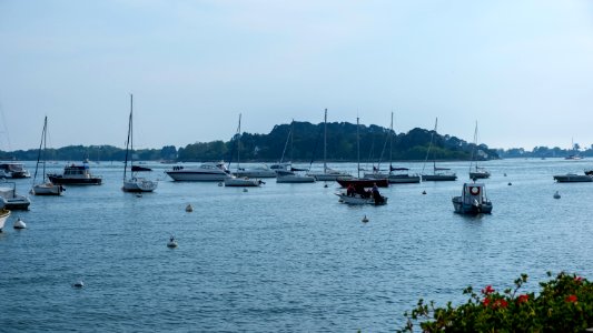
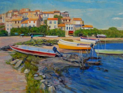
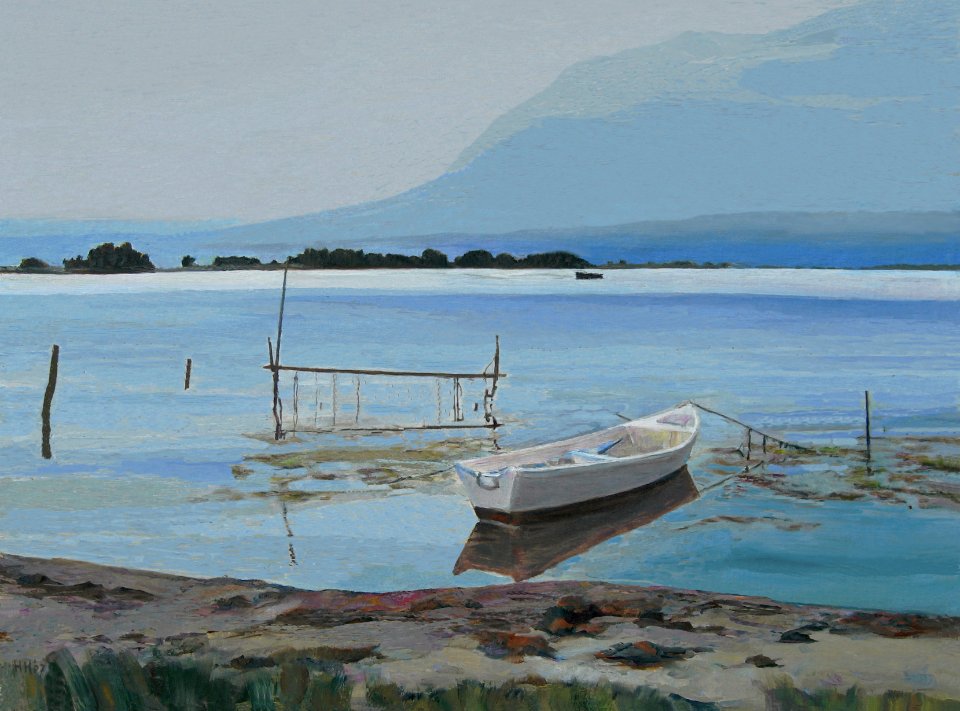
water
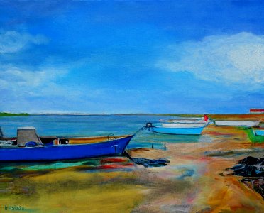
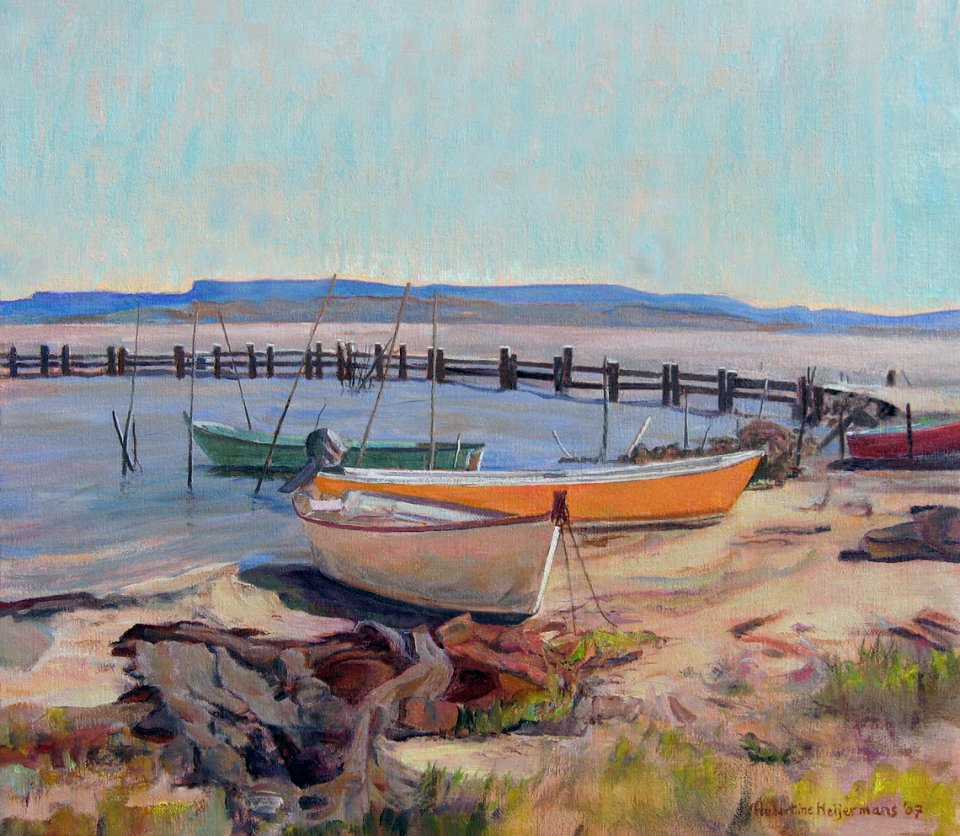
boat
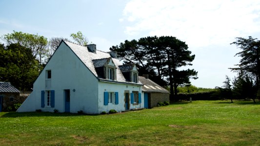
bretagne
france
bretagne
france
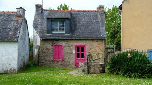
village
france
grass
rock
france
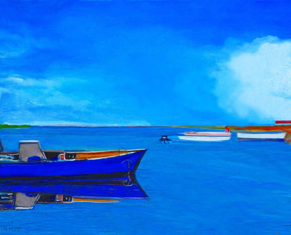
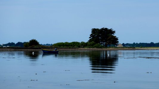
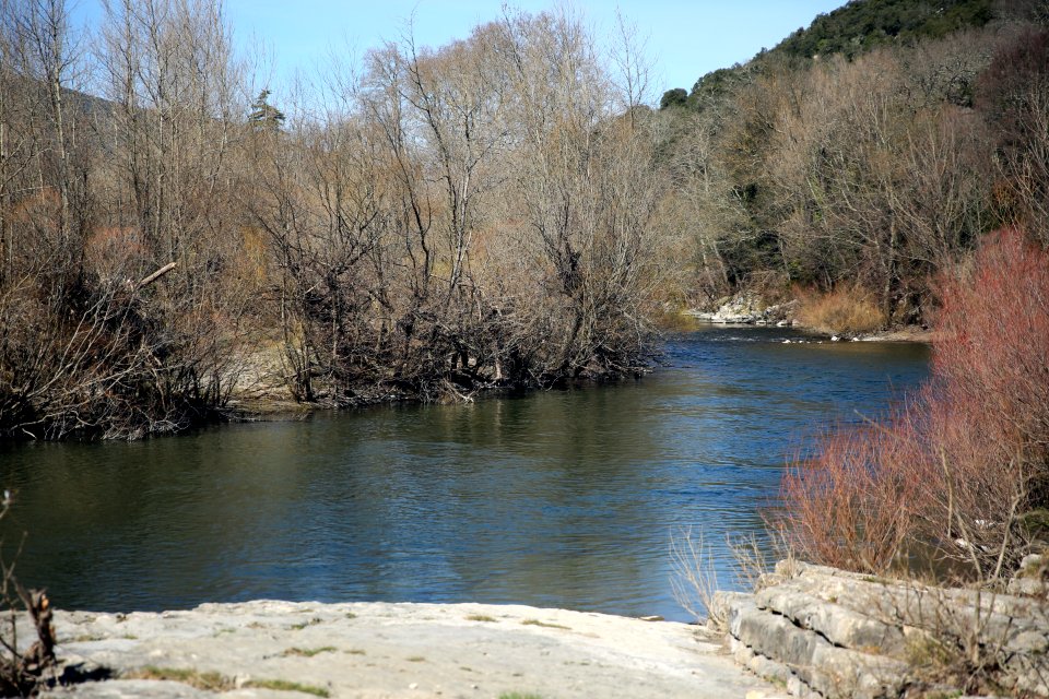
water
water
boat
france
water
france
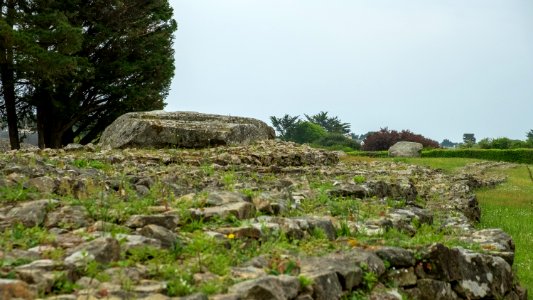
rock
france
rock
france
water
green
rock
france
shore
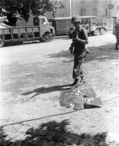
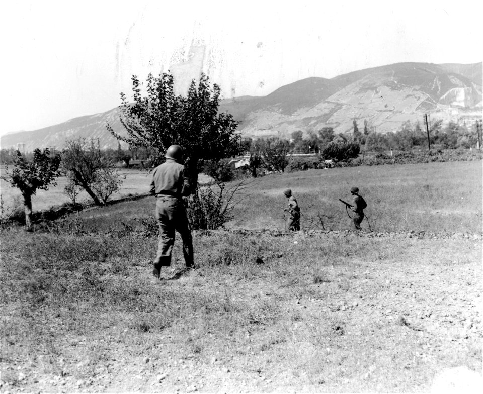
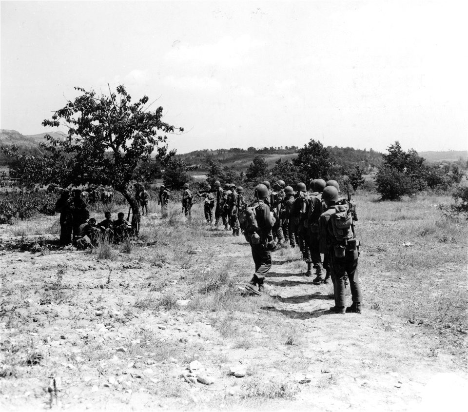
3rd infantry division
france
marais
swamp
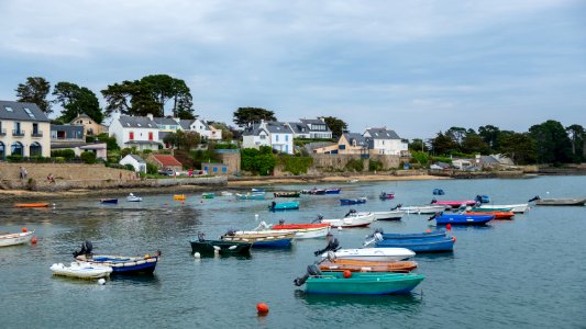
france
boat
france
boat
landscape
nature
france
food
3rd infantry division
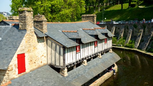
france
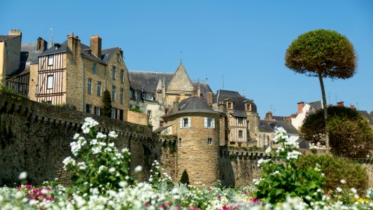
architecture
france
water
tree
architecture
france
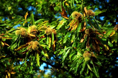
autumn
tree
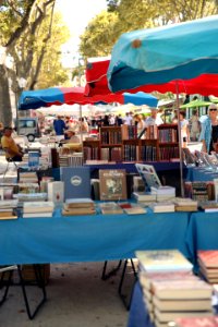
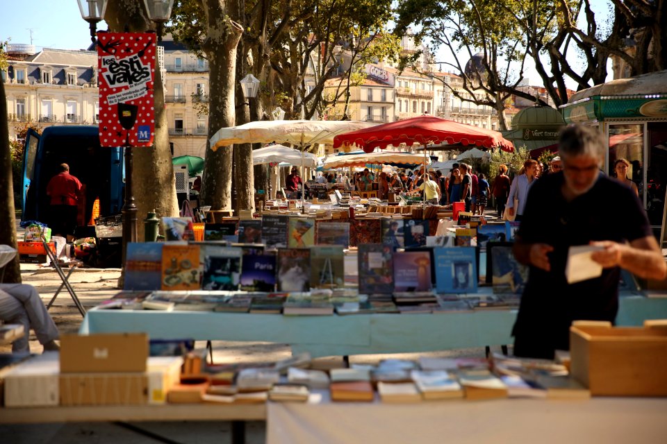
shopping
book
autumn
light
3rd infantry division
france
adrian scott stokes
oil on canvas
old maps of bouvet island
bouvet island
17th-century maps of the indian ocean
maps by willem and johannes blaeu
bibliothèque nationale de france
hendrik de leth
bibliothèque nationale de france
guillaume sanson
maps by pieter mortier
maps from gallica
atlas minor gerardi mercatoris (1614, maps)
maps of south america by mercator-hondius
atlas minor gerardi mercatoris (1614, maps)
maps of south asia by mercator-hondius
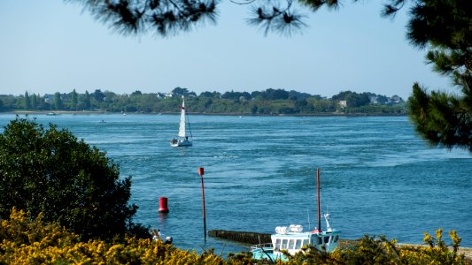
fish
boat
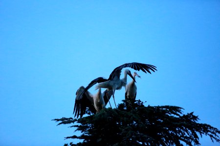
bird
fly
water
boat
fruits
france
construction
rock
flower
france
summer
book
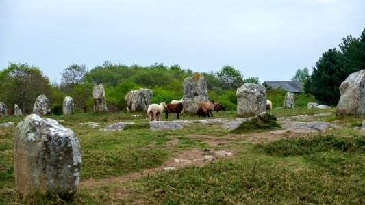
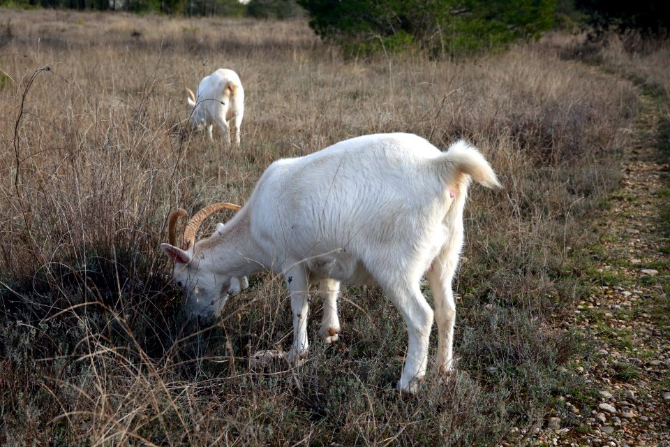
animals
goat
traffic
bird
water
boat
maps of morocco by mercator-hondius
bibliothèque nationale de france
maps of rotterdam by braun & hogenberg
maps of gouda by braun & hogenberg
maps of morocco by mercator-hondius
bibliothèque nationale de france
map of the circle of austria by sanson
1670s maps of austria
maps of the americas by mercator-hondius
bibliothèque nationale de france
maps of dordrecht by braun & hogenberg
bibliothèque nationale de france
maps of morocco by mercator-hondius
bibliothèque nationale de france
a new & correct map of england and wales (foster)
1750s maps of england
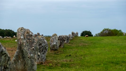
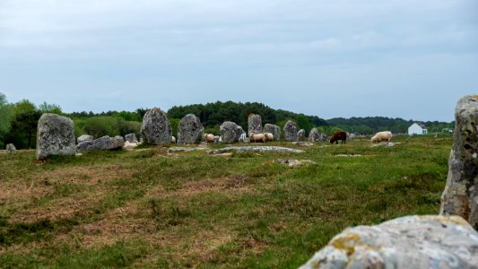
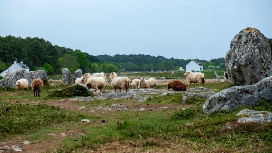
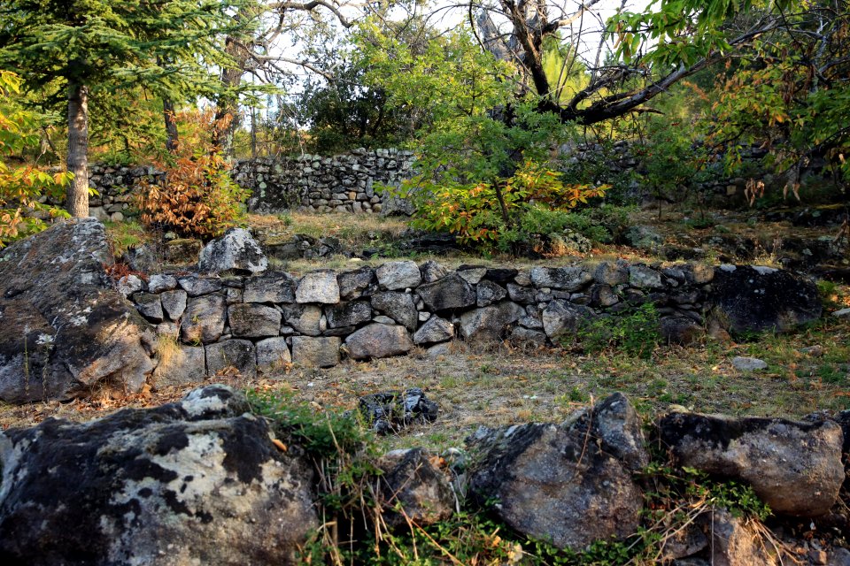
grass
rock
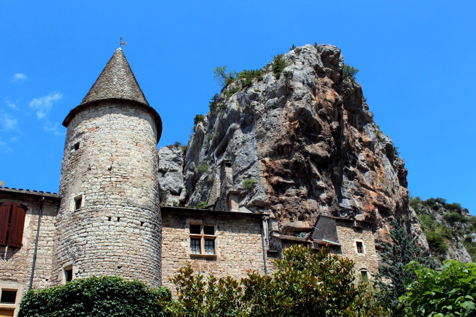
architecture
france
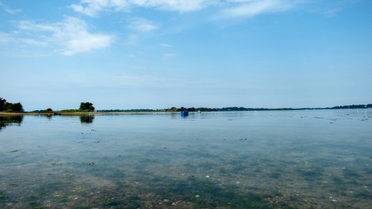
water
boat
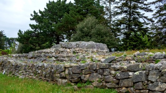
grass
rock
grass
rock
spring
tree
grass
rock
architecture
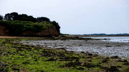
water
water
boat
grass
rock
grass
rock
de zee custe, met de eijlanden van bretaignen, tusschenn blavet en picqueliers - lucas io(ann)es aurigarius inventor ; ioannes à doetinchem fecit 1583 - btv1b53156706f
bibliothèque nationale de france
bretagne
france
water
boat
grass
rock
1101 - 1200 of 2,090
Next page
/ 21


![A new chart of the isle of Wight [Bognor Regis - Durlston head], William Price, 1800](https://cdn.creazilla.com/illustrations/10000679901/a-new-chart-of-the-isle-of-wight-bognor-regis-durlston-head-william-price-1800-md.jpg)


![Fessae et Marocchi regna / [Jodocus Hondius], 1600s](https://cdn.creazilla.com/illustrations/10000708422/fessae-et-marocchi-regna-jodocus-hondius-1600s-md.jpg)

![Fessae et Marocchi regna / [Jodocus Hondius], 1600s](https://cdn.creazilla.com/illustrations/10000787674/fessae-et-marocchi-regna-jodocus-hondius-1600s-md.jpg)


![Fessae et Marocchi regna / [Jodocus Hondius], 1600s](https://cdn.creazilla.com/illustrations/10001237439/fessae-et-marocchi-regna-jodocus-hondius-1600s-md.jpg)